 |
 |
 |
|
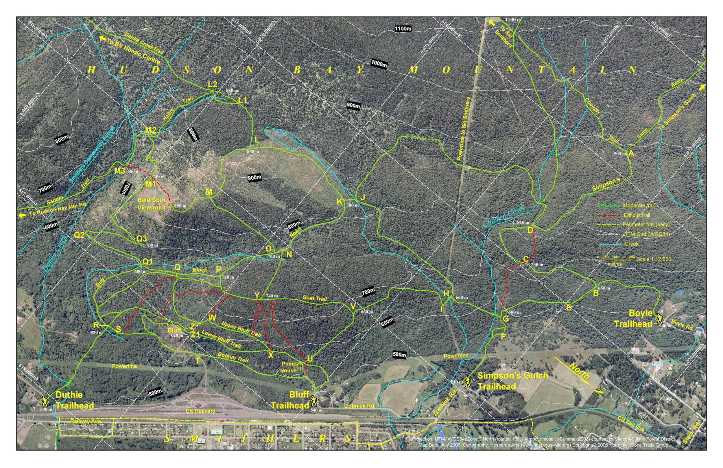
This map was designed for a 11" x 17" brochure format, at a scale of 1:2500. North was rotated to be to the lower right so that the town of Smithers would appear along the bottom of the map. The orthophoto is such a rich layer (even individual train cars are clearly visible) that it threatens to overpower anything else put over it (). Bright greens and yellow proved to be the most visible colours against the orthophoto, and shadowing was employed on text labels to help them stand out. A UTM grid was provided for GPS users. Projection is UTM Zone 9N (WGS84). view entire map as 11x17 PDF brochure Download the Google Earth KML file to view these trails. |