 |
|||||||||||||
 |
|||||||||||||
 |
 |
 |
 |
||||||||||
 |
|||||||||||||
 |
 |
||||||||||||
 |
|||||||||||||
 |
|||||||||||||
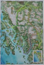
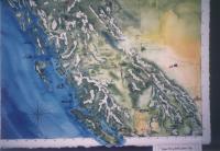
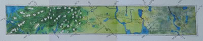
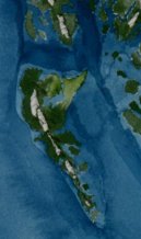
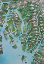
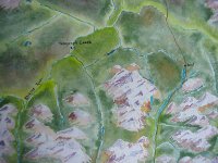
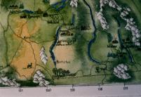
| I paint these maps on 300 lb. paper, using Holbein and Windsor-Newton watercolours. The source data is compiled from satellite images and existing topographic maps. |  |
||||||||||||
 |
The maps are meant to be geographically precise, but they are first and foremost works of art, so I may take liberties with leaving out roads and towns. |
||||||||||||
| If I can visit the area, the landscape colouring will be based on my personal observations of the earth tones and vegetation. | 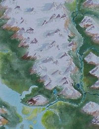 |
||||||||||||
|
Commissions are welcome. Please contact Morgan at |
|||||||||||||