 |
||
 |
||
 |
||
|
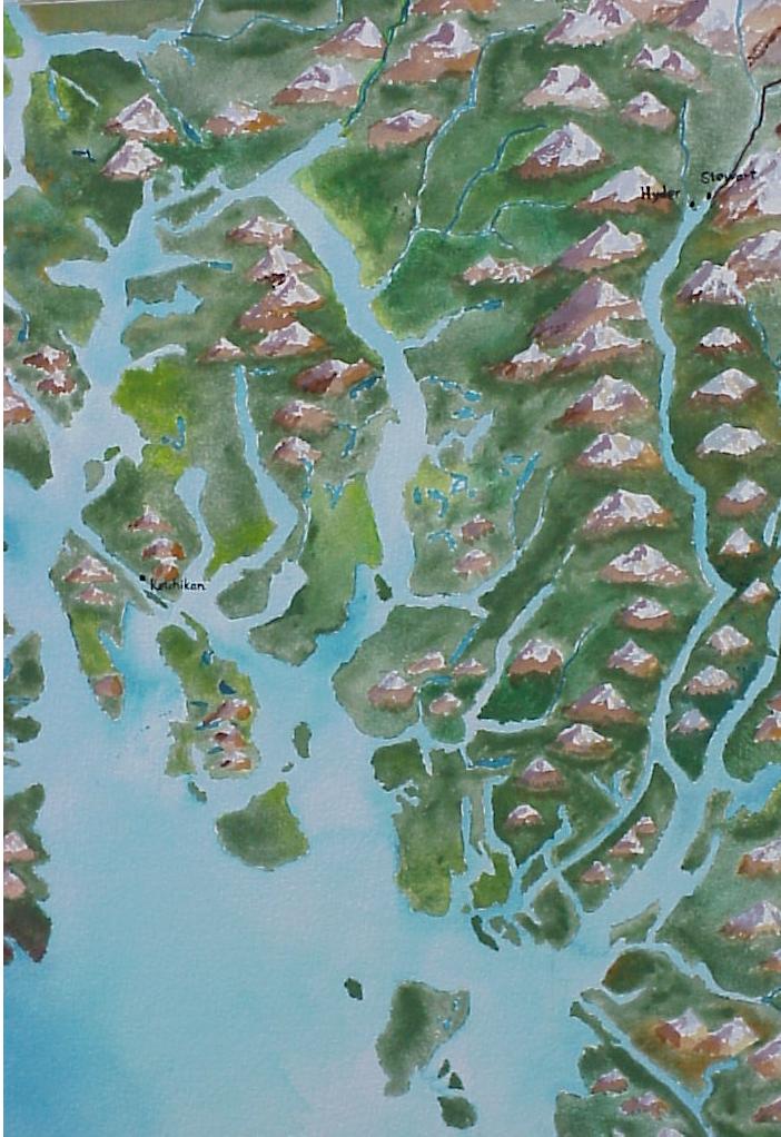
This is a detail of the Odyssey
Map, showing the area between Ketchikan, Alaska, and
Stewart, British Columbia. Kayakers travelling between them
paddle up a 120 kilometer-long fiord, the Portland Canal. The
US/Canada border lies in the middle of this fiord, and at its
head the town of Stewart is in British Columbia while the
neighbouring town of Hyder is in Alaska.
|
||