 |
||||||||||||||||||||||||||
 |
||||||||||||||||||||||||||
 |
||||||||||||||||||||||||||
|
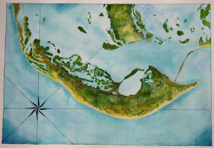
Sanibel Island is off the Gulf coast of Florida, near Ft. Meyers. Although in reality there is quite a bit of development of roads and houses along the south shore and on the adjacent mainland, I depicted the island in a hypothetical natural state, as it might look without development. I couldn't resist, however, leaving in the modern causeway bridge. This map is a full watercolour sheet (about 20" x 30"). |
||||||||||||||||||||||||||
|
||||||||||||||||||||||||||
